
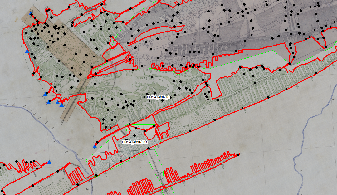
Over the course of the last 3 years via work on the DEP Mine Mapping Grant, students and staff in the Center have been developing mosaic datasets and vectorizing features, such as mined area, elevation points, and mine entries in the Southern Anthracite Coal Field. Stretching from, Carbon County to the western edge of Dauphin County, creating accurate depictions of the many coal veins has been a challenge that has been met head-on by students and staff. Through this hard work over the last several years, we are proud to announce that we have concluded our efforts in the Southern Field and look forward to moving on and constructing the same mosaic datasets and vectorized features, in the Western Middle Field. The information gained from these datasets in invaluable as government agencies seek to educate homeowners on the important issue of mine subsidence, as well as use it for many other purposes internal to the organizations. We look forward to collaborating with the Pennsylvania DEP on work such as this for years to come, and eventually, hope to be able to begin work constructing 3D models of specific mines in the Anthracite region.
MMG Southern Anthracite Field
Recent Comments