
Top Geospatial Trends of 2021
It’s that time of the year, when we review geospatial methods and technology trends and I use my piercing crystal ball to see what’s on the horizon for the new year. While the pandemic changed the way we conduct business, geospatial sensor technologies continued their upward trend. As I have in the past, I’ll revisit the trends I forecasted at this time last year, note how those predictions panned out, and project how these and other trends are expected to evolve throughout 2021 and beyond.
Data Democratization: Big Data Needs Big Tools
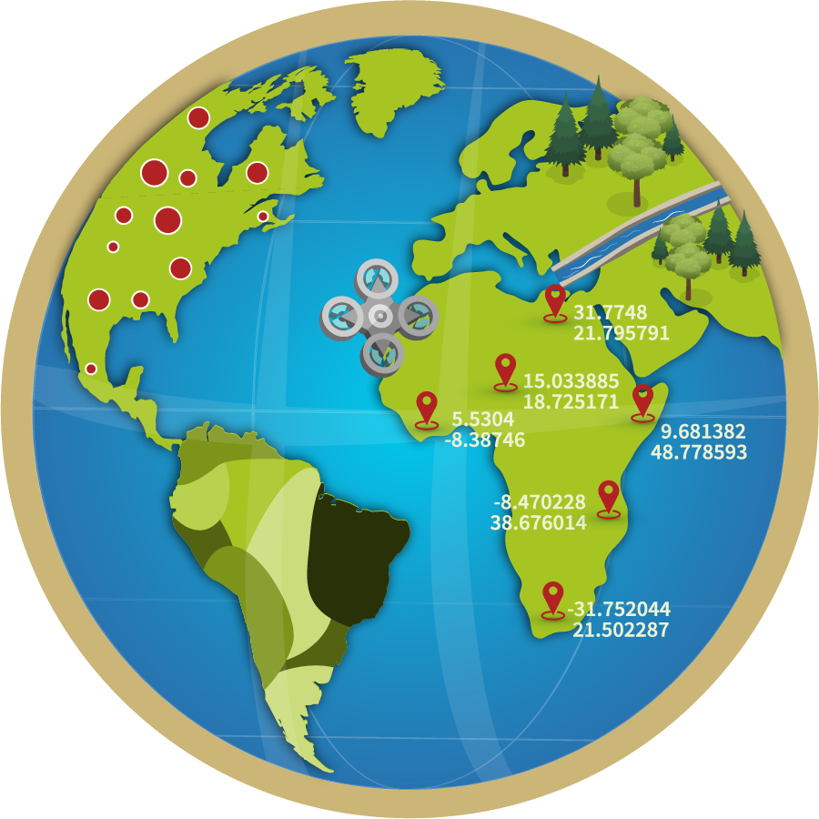
Data democratization, or providing streamlined access to technical expertise, continued to evolve in 2020. Although still a work in progress, the geospatial community became more educated in many new and complex data topics like machine learning in application development. It also became more adept at sharing those tools and techniques so they can be easily understood by those without extensive experience, skills or training. An example of this increased awareness is the growing trend in the Geospatial Knowledge Infrastructure, which is being tackled by the United Nations and its global strategic partners.
Crowd sourcing, big data and data science have been aggressively pursued by tech companies, whether they are for honest data gathering or for those who want to sell location-based data to the highest bidder. Location-based applications including smart buildings, self-driving cars and crowd sourcing will continue their upward growth and potential this year. These data, if used properly, can be a great service to diverse sectors that include planning, construction, utilities, transportation, government and energy.
However, although there is growing number of niche companies and services offering creative solutions, the mainstream geospatial industry witnessed sluggish growth in the creative methods and tools needed to mine, extract and convert these data into knowledge. These niche companies are mainly small business startups focused on innovative solutions that serve a segmented or specialized market. Often, they are snatched up upon arrival by giant tech companies before the industry has had a chance to work with them. The situation is different for the giant tech companies like Google and Amazon, which have continued their advancement of machine learning, artificial intelligence and deep learning. Their sophisticated methods and tools were developed for their use rather than for the geospatial community at large, but some of their developments are benefiting geospatial users on a limited scale.
Think Small Again—Miniaturized Sensors
Last year, I envisioned companies like Google, Apple and LG would invest more in advancing and integrating miniaturized imaging and lidar systems within their devices for mapping applications.
The latest imaging capabilities of some smartphones exceeded my expectations, and I was pleased to see that Apple has a lidar sensor on its iPhone 12 Pro. Once I heard about it, of course I had to purchase one. I am still figuring out how it works. Based on the article posted on LinkedIn by Rami Tamimi, an Ohio State University student working toward his doctorate in geodetic engineering, the iPhone 12 Pro lidar looks awesome and is a great foray into sharing this technology with the masses. I expect other phone manufacturers will emulate Apple by incorporating this technology in 2021.
Living in the Cloud
Last year, I acknowledged that progress was made by agencies moving computing powers to the cloud. Many more companies are offering business models for cloud data hosting and processing. Amazon, Google and Microsoft continue to lead that market and offer users and developers sophisticated platforms like serverless cloud computing. These platforms enable developers to run apps and services without having to manage and operate costly and complicated server infrastructure.
Among the members of the geospatial community utilizing the cloud for data storage and application development, the majority are interested in serverless cloud computing architecture. This supports our favorite geospatial applications, map libraries and GIS clients like ArcGIS Online, ArcGIS Desktop or QGIS. This trend will continue to evolve and grow strongly throughout 2021.
Lidar, Lidar, Everywhere
In 2020, lidar manufacturers continued to make huge technological advances, both in traditional linear-mode lidar and in newer lidar technologies, like single photon. These advancements will continue this year, offering more efficient data acquisition and more affordable lidar data to support national programs, such as the U.S. Geological Survey’s 3D Elevation Program.
For a glimpse of the industry’s current capabilities in aerial lidar mapping, here are some figures I presented during the Geo Week webinar “Airborne Lidar and Actionable Data,” that was held earlier this month. In my presentation, I noted that Woolpert has collected dense lidar data over 700,000 square kilometers worldwide in the last three years. As part of those collections, 100,000 km2 was topo-bathy lidar. Before lidar and its immense capabilities, we used to generate topographic maps using traditional stereophotogrammetry. This manual, labor-intensive method, in many cases, could not match the quality or the accuracy of a lidar-derived digital terrain model. It also would take us decades to compile a 700,000 km2 DTM using stereo imagery.
Lately, we’ve seen lidar manufacturers start to invest a great deal of energy into the development of AI-based applications that will help users weed through the massive number of point clouds to extract the information they need.
Improvements in lidar data density, quality and accuracy continued to attract new users and new applications in 2020, and this trend will continue for years to come. Unmanned aircraft system, or drone-based, lidar data acquisition also witnessed massive growth in 2020 as new lidar systems emerged. The most impressive development was the recent introduction of a flash lidar sensor with 200-meter range by Sense Photonics. Although the flash lidar concept is not new to the industry, its 200-meter range capability and its ability to be mass produced for the automobile industry also make it an attractive lidar option for UAS.
The great thing about flash lidar is that it is lightweight and has no moving parts. All UAS-based lidar systems other than flash lidar are based on a scanning mechanism that can introduce unstable geometry and therefore compromise the positional accuracy of the resulting product. Another UAS lidar development worth mentioning is DJI lidar. Like other DJI products, DJI lidar is considered to be the least expensive lidar acquisition method for drones. Affordable and efficient lidar systems such as this will force manufacturers and integrators to lower the cost of UAS-based lidar, which is win-win for the geospatial industry.
Topo-Bathy Lidar
This year, the importance of the bathymetric survey has earned its own section in this forecast. The reason for this is two-fold. First, manufacturers have excelled in providing the industry with an awesome new breed of lidar systems that can be used for the dual data acquisition for topographic and bathymetric survey. These new systems made it much more practical to survey coastlines without the need for two types of lidar systems—topographic and bathymetric. The second reason is that on Jan. 5, 2021, the White House Council on Environmental Quality and the Office of Science and Technology Policy released an implementation plan for the “National Strategy for Ocean Mapping, Exploring and Characterizing of the United States Exclusive Economic Zone.” The implementation plan was drafted by the National Oceanic and Atmospheric Administration. This presidential memorandum applies to an oceanic area larger than the terrestrial landmass of the United States. This is good news for the geospatial industry, since we will help implement the plan.
Marrying BIM to GIS and Digital Twin
Building information modeling, virtual reality and augmented reality will continue their growth within the geospatial and engineering communities. The mapping and geospatial industry must refine its tools and methods by building efficient GIS databases and applications to take advantage of upcoming opportunities. This year, we will hear more about the concept of the digital twin and its importance to planning and decision-making. If you are not familiar with the concept, I would define digital twin as “the digital surrogate of the physical environment, which you can use and abuse without harming or disturbing the physical environment representing your project site.”
The digital twin opens huge opportunities for the geospatial community, since lidar is becoming the most efficient tool from which to generate data and build a model. The geospatial community needs to familiarize itself with the digital twin concept and what it entails to enhance geospatial modeling technologies moving forward.
Another interesting development in the BIM arena in 2020 was combining the power of indoor mapping and digital facility management services. This integration enables companies to manage their workspaces and provide property managers with the ability to edit floor plans in real time and to share those changes immediately with employees and facility users. Imagine if a leasing manager or builder gave you access to the dynamic digital floor plan of a new project or of your new apartment before you moved in. Having a 3D digital twin of that space before you sign a lease or purchase contract can provide the kind of empowerment that leads to a better quality of life. This capability was recently introduced to the market by Mappedin of Waterloo, Canada.
A “Smart” Revolution
The concepts of smart cities and intelligent transportation systems will continue their healthy growth in 2021. This growth will be accelerated by geospatial trends cited here, most notably digital twin methods, big data, machine learning and deep learning. Helping this growth are the continued advancements in utilizing the Internet of Things for cloud data storage and processing in near-real time.
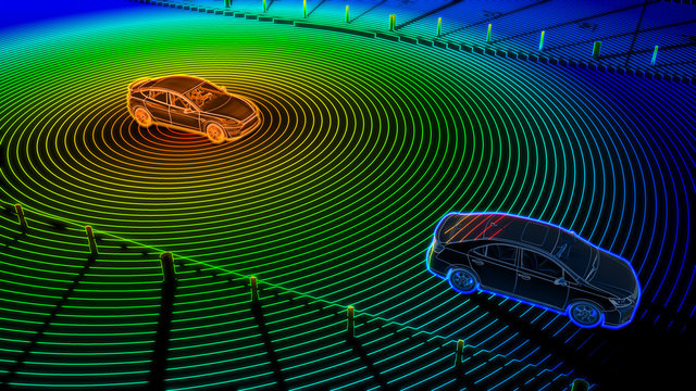
Autonomous driving will continue to make strides as more car manufacturers go down this road. Self-driving cars require artificial intelligence and geospatial data to understand infrastructure details and conditions. As predicted last year, our geospatial community is poised to earn a substantial market share of the services and technologies needed to support and navigate the smart revolution.
Mapping-as-a-Service
Gradually, the term mapping-as-a-service is expanding to encompass all cloud-based geospatial data solutions, including data-as-a-service, software-as-a-service, and online analytical solutions based on AI and machine learning. There is not expected to be any substantial development in speculated data acquisition, on-demand geospatial data and data subscription services in 2021, largely due to the pandemic. I expected this sector to grow in 2020 but unfortunately our geospatial business, like everything else, was impacted by COVID-19. However, MaaS capabilities are expected to see measurable growth in 2022.
I ended my article from last year with: “These geospatial trends will continue to blossom throughout 2020, as the need for advanced technologies continues to rise. I look forward to seeing what the year will bring.” Well, we all know now what 2020 brought us. However, our geospatial community is resilient, and we will survive the wrath of 2020. Our success will require the collaboration of multiple tiers of government, the private sector, public utilities, community activists, building owners, average citizens, etc. It will also require hard work on several levels as we advance application developments like dashboards and databases to achieve real-time situational awareness, and scientific datasets and analysis to create technology solutions for use around the world.
Recent Comments