
Meet the team

Albert Sarvis, PMP, GISP
Executive Director Geospatial Technology
M.A. in Geography from Ohio University
B.A. in GeoEnvironmental Studies from Shippensburg University
FAA Part 107 Certified Commercial Drone Pilot
ITC Certified Level 1 Thermographer
B.A. in GeoEnvironmental Studies from Shippensburg University
FAA Part 107 Certified Commercial Drone Pilot
ITC Certified Level 1 Thermographer
Albert Sarvis, PMP, GISP
Albert oversees the overall vision and mission of the Center by evaluating potential grants, clients and research opportunities as they relate to geospatial technology. Albert founded the center in 2013 and has directed the operations since then. Albert brings 15 years of GIS industry experience prior to joining Harrisburg University as a full–time assistant professor 10 years ago. His industry experience includes international and domestic utility industry, state departments of transportation, as well as municipal and city government. In 2016 Albert saw the potential of drones for remote sensing and GIS mapping and has been the lead drone pilot and GIS analyst in several domestic and international drone–based environmental and archaeological research projects conducted through the Center. Outside of Harrisburg University and the Center Albert enjoys traveling with his family and is an avid photographer.

Craig Lewis, PMP
Director Geospatial Technology
M.A. in Geography from The Ohio State University
B.A. in Geography from Buffalo State College
FAA Part 107 Certified Commercial Drone Pilot
B.A. in Geography from Buffalo State College
FAA Part 107 Certified Commercial Drone Pilot
Craig Lewis, PMP
Craig manages the day-to-day operations, as well as the various projects that the Center engages in to ensure a beneficial experience for the student employees and the clients of the Center, alike. Craig has over 7 years’ experience managing projects in a geospatial setting and ensuring client satisfaction for those who depend on these services. Some of the industries that Craig has experience managing geospatial-related projects in include energy, healthcare, higher education, manufacturing, and tourism. With a background in GIS and project management, he enjoys seeing the many ways that GIS can be applied to help a wide variety of companies and organizations achieve their goals. When not working with GIS, Project Management, or aspiring students, Craig enjoys spending time with his family and playing or watching whatever sport he can get his hands (or eyes) on.
Mike Meyer, Ph.D.
Assistant Professor of Earth Science Systems
Ph.D. in Geosciences from Virginia Tech
M.S. in Geology from the University of South Florida
B.S. in Geology and Anthropology from Beloit College
FAA Part 107 Certified Commercial Drone Pilot
M.S. in Geology from the University of South Florida
B.S. in Geology and Anthropology from Beloit College
FAA Part 107 Certified Commercial Drone Pilot
Mike Meyer, Ph.D.
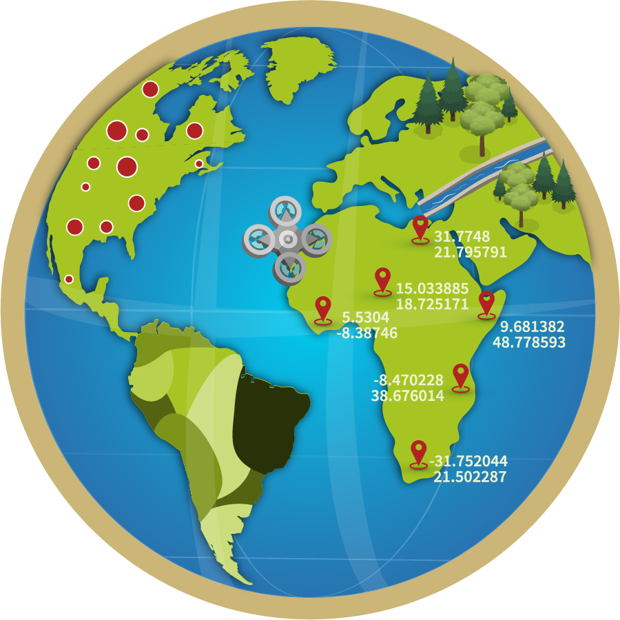
Mike is the Center’s Subject Matter Expert in all things geology, hydrology, environmental science, and virtual reality. His early work focused on the earliest multicellular fossils in the rock record from the Ediacaran Period (635–541 million years ago). In order to better understand these enigmatic fossils, he started using methods from the material sciences (electron microscopes, CT scanners, and geochemistry). He implemented Virtual Reality to bring these fossils to life and understand how they lived. Since coming to HU, Mike has published on new fossils in PA, possible asteroid impact debris in southern Florida, and using network analysis to understand how metabolisms have changed over Earth time. Mike is also working on bringing virtual reality to HU, investigating the hydrological systems of the Susquehanna River Basin, and studying local soils through work with the geospatial center at HU. In his free time, Mike enjoys watching science films. After all, Back to the Future is the reason he got into Science!
Charles Shearrow II
Geospatial Technician
B.S. in Geospatial Technology from Harrisburg University
FAA Part 107 Certified Commercial Drone Pilot
FAA Part 107 Certified Commercial Drone Pilot
Charles Shearrow II
Charles has been working for the Center for Applied Environmental & Geospatial Technology since 2015 on various projects but is specifically focused on the completion of the Mine Mapping Grant for the Pennsylvania Department of Environmental Protection. While working on his Geospatial Technology degree, he began working for the center and quickly became a leader of the Mine Mapping Grant project where he performed QC on mosaics of the Anthracite Coal fields and assisted training other employees on the intricacies of the project. After graduation, Charles moved to Pittsburgh to work for Uber’s Advanced Technology Group as a Map Production Specialist working on the autonomous vehicles project. After working at Uber for a year, Charles returned to Harrisburg to take a lead role on the Mine Mapping Grant project and to continue his education and is currently working on his second bachelor’s degree in Advanced Manufacturing. Charles also enjoys helping with Harrisburg University’s summer drone camps and completing various drone-related projects. Outside of the Center, he likes to travel abroad and visit his home state of Texas as much as possible.

Joseph Ciavarella
Junior
Geospatial Technology
Meagan Fairfield-Peak
Graduate Student
Geography and Environmental Systems
Mackenzie Millhouse
Senior
Geospatial Technology
Aaron Stone
Senior
Geospatial Technology
Gideon Olufemi-Ajayi
Junior
Environmental Sciences
Victor Adeyemi
High School Student